 |
| Wangi Falls |
The Table Top track is a 39km loop through
(unsurprisingly) the Table Top at Litchfield National Park. There are 4 recognised entrances/exits to the
circuit which are ‘link walks’ from Florence Falls, Greenant Creek, Wangi Falls
and Walker Creek. Walkers can camp off
of the track proper at Florence, Wangi and Walker. Additionally there are basic bush camping
facilities 3km East along the track from the end of the Greenant link walk, 5km
North West along the track from the end of the Wangi link walk and 1.8km East
of the end of the Walker link walk.
There are fire pits and tables at each of the bush camps and if you
believe the rumours there are also pit toilets, but so far I have only managed
to locate them at the Tjenya Falls (North West of Wangi) bush camp, and the
camp East of Walker Creek.
 |
| Walking the Table Top |
Usually the track can be expected to be open from June to
August if everything goes to plan.
Outside of those months walking the track is discouraged due to ‘hot and
humid’ conditions, though you may be able to get a permit if you phone 08 8999
4486. I’m assuming NT Parks and Wildlife
pick up at the other end but I can’t say for sure. I’ve tended to opt for the ‘if you don’t ask,
they can’t say no’ approach. Even in
season the recommendation is that overnight walkers register their walk through
1300 650 730. The benefit of that is
that if you don’t deregister by noon on the day you told them you would be
completed, they (again I’m assuming NTPW) will send out a search party. They do however require a refundable $50.00
deposit per person or $200.00 deposit for a group of more than 4. I guess though if they have to send out a
search party you probably forfeit your deposit...
Back in 2011 I had attempted to complete the Table Top
track loop with 2 of my girlfriends – Naomi and Other Lisa. That was my first hike since my scouting
days. The scenery had been beautiful but
the trip hadn’t gone quite to plan. That
might be a story for another day but the abbreviated version is that on the
second evening I became suddenly and violently ill. The next morning we decided the safest option
was to head back to the closest car rather than push on in case the situation
worsened. Since then I’ve done a couple
other little pieces of the track but I haven’t yet completed the full circuit.
This week has been my first break since starting back at
uni after a good few years away from study.
I’ve been a bit out of the swing of this study thing so this has been my
first chance to ‘go bush’. Even so I didn’t
want to spend too much time away from the books so opted for a little day trek
back out to the Table Top with Jess. The
plan was to start at Wangi and walk the circuit anticlockwise out to the first
bush camp. Although today’s itinerary
was restomping old ground I was just happy to hit the trail again, besides it
had been more than 2 years since I’d covered that same area.
 |
| Trekking through the long grass on the Table Top |
Technically the track was still closed for the wet
season, but some (read ‘I’) would say that’s the best time to walk the
track. Yes it is over grown and it can
be hard to locate some of the markers in the tall grass and others maybe missing
or have fallen over. Yes it’s still
pretty bloody hot. But it also means
that it’s unlikely to be crowded and the creeks are flowing at a good pace meaning
the pools aren’t stagnant and scummy. So
although it’s hot you have a lot more and a lot nicer places you can cool off
at.
We both got up at some ungodly hour with the intention of
covering most of the ground while it was relatively cool but somehow it was already
8 am when we arrived at Wangi. At least
it still wasn’t too hot at that point but it didn’t take long for the sun to
come out in full force. The majority of
the walk was pretty flat, once you complete the steep ascent to the top of
Wangi. From there the link walk to the
track is marked with blue arrows leading onto the circuit proper. On the reverse side, heading off of the track
the arrows are orange.
Some of the long grass between the track markers was
crushed which provided a bit of a path occasionally. Not all of the markers were so easy to find
though. We had a map and GPS and could
have easily navigated our way to the bush camp without the markers but we
wanted to follow the track proper at least on the way out. This meant we spent a bit of time walking in
circles trying to find the obscure little blue triangles. That wasn’t necessarily a bad thing
though.
 |
| The view from Picnic Tree and putting Picnic Tree to good use |

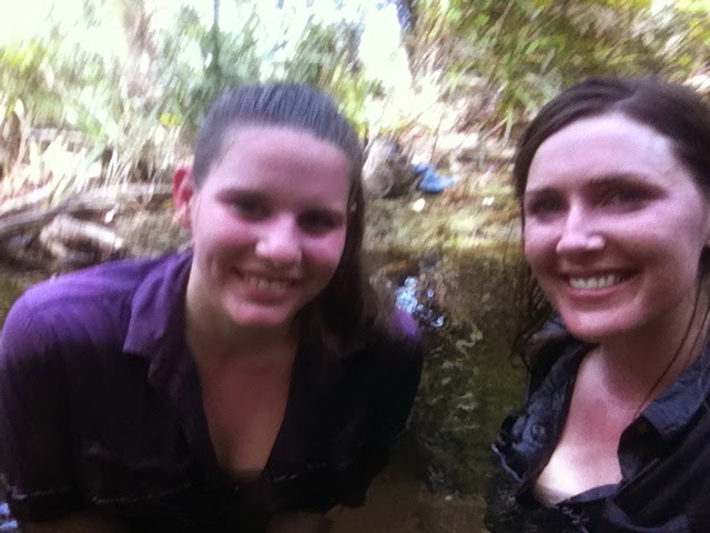
At one point we took a break from our search and decided to explore a noisy creek close by. I’m glad we did as we stumbled upon a pretty, shaded creek with a large old paperbark tree fallen across its width, linking the banks on either side. It seemed a good spot to take a break and we sat on the tree over the clear deep water below and had a snack. We aptly named that spot Picnic Tree (52L FL 84354 45069). After our snack we stripped off to have a swim in the creek. It was only then, once I took off my gaiters and saw the trail of blood down my leg that I realised I’d been leeched! I’m quite not sure how the sneaky bugger had gotten in there. It was a good effort though.
The water was refreshing and the base was a mix of pale
sand and smooth rock. On the far side of
the creek from the track the tree bank seems to stretch back a distance but the
ground is flat dirt. The spaces between
the trees are broad enough to fit a 2 man tent.
I reckon it would make a great spot to come back to and camp.
Reluctantly we decided to leave Picnic Tree to continue
on our walk and eventually we found the marker that had been eluding us. I’ve marked each of those we passed on my GPS
for future reference, might come in handy one day and they are good for
navigating your way back to the track if you wander off. We passed other pretty areas where the creek
cascaded down but we didn’t jump back in till we made it to The Steps – the
bush camp (52L FL 96326 44743).
 |
| The Steps bush camp |
Here the creek widens and the water falls over a series
of short rock steps, creating a sequence of shallow pools. We took advantage of the cool water, having a
swim and refilling our Camelbaks. To err
on the side of caution though we used a filter funnel and Aquatabs. I’m not keen for a repeat of my first Table
Top trip!
 |
| Cooling off again at Picnic Tree |
It was after midday when we started back and the sun was
well and truly doing what it does best.
We could both feel our brains getting a bit hot so we stopped off again
at Picnic Tree. This time we just jumped
in in our clothes. The cool off was probably
quite necessary before finishing off the walk back down to Wangi.
Visited 23.04.2014